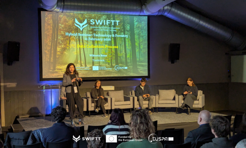
SWIFTT is a forest management platform that combines the rich Copernicus Sentinel satellite data and powerful machine learning models. It helps foresters identify changes in tree health, map dieback in their forests and coordinate sanitary cuts, map windthrow damage, and identify areas at high risk of and damaged by wildfires.
Upon joining the SWIFTT Platform, foresters can register each forest parcel under their management and request an analysis for one or multiple threats. Machine learning models regularly analyse multispectral satellite imagery for anomalies that could indicate different risks or damage, such as spruce bark beetle, windthrow, and wildfires. After detection, foresters receive alerts containing the threat type, severity, as well as indicators for threatened tree volume and hectarage that allow them to prioritise where to inspect or intervene first.
SWIFTT is built to meet the needs of foresters also in the field through its mapping system and geolocation of threats. SWIFTT's mobile app guides foresters directly to the affected location, making inspection efficient and targeted. There, foresters can collect and upload field information, confirming or updating the status of the alert, which contributes to the refinement of models, making future predictions even more reliable. After confirmation, foresters can efficiently coordinate the clearing of dead wood or sanitary cuts of infected trees, preventing further damage and allowing for the protection and restoration of existing forests.