SWIFTT’s objective is to monitor forest health and give a holistic early warning of forest threats using AI based on proprietary models specific for detecting forest threats.
Our solution aims to monitor, map and estimate the damage of the three major forest health threats: windthrow, insect outbreaks and wildfire, every month at a 10-metre resolution across Europe. This monitoring and mapping will be primarily based on Copernicus Sentinel-1 and 2 data. Once completed, forest managers anywhere in Europe will be able to view SWIFTT maps detailing areas of windthrow damage and insect outbreaks, and fire risk, including volumes of forests at risk through our web and mobile apps.
This detail will enable forest managers to deal with these threats proactively and efficiently perform resource allocation for timely intervention. The key benefit will be sustainable, effective, low-cost forest management in the wake of increasing forest threats. Europe will be better positioned to combat climate change and preserve biodiversity through healthier forests.
The project’s specific objectives are structured into 5 areas:

Key Area 1
Developing and improving models for forest health monitoring to boost carbon sequestration by healthy forests thus contributing to the European Green deal.
Development and improvement of remote sensing models for the detection of windthrow damage, tree health, forest volumes.
Development of generalised models applicable all over Europe to different forest types and terrains widening the range within which our solution SWIFTT can be applicable.
Key Area 2
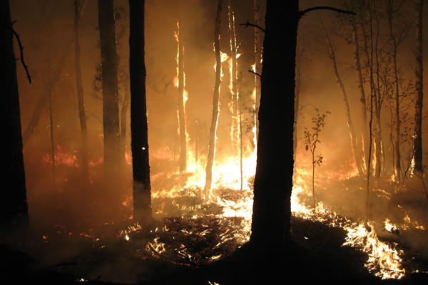
Developing an AI solution to identify and flag anomalies in forest health to aid timely intervention and mitigate wildfires.
Development of models to simulate the growth and behaviour of hundreds of thousands of fire events for risk analysis across large areas using geospatial data on historical fire occurrence, weather, terrain, and fuel conditions.
Successful quantification of wildfire risks, mapping of areas with the highest exposure of fire risk post windthrow, insect outbreaks, and extreme weather conditions like drought, and simulation of effects of large fire suppression on fire duration and size.

Key Area 3
Standardising data for windthrow damage, tree health, forest volumes and data for fire risk mapping and early fire detection.
Simple mapping from external sources: handling of on-boarding data from systems external to the organisation and mapping of keys and values to an output schema.
Simple mapping from internal sources: handling of internal datasets based on inconsistent definitions and transformation into a single trustworthy data set for the entire organisation.
Complex reconciliation: creation of complex calculated metrics that provide their own semantics based on a defined logic.

Key Area 4
Implementing and demonstrating the AI solution in realistic use cases for testing incorporating feedback and verification.
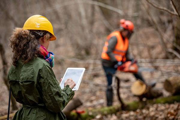
Deployment and test of the solution in real use cases in at least 3 European large forest areas in Germany, France, and Latvia.
Proof of concept deployments with forest management organisations with different forest types, tree species mix, tree age, height, circumference, plot density, etc.
High accuracy of detection of forest threats by making use of the big data collected through Copernicus Sentinel-1 and 2 satellites along with data collected to train and refine accuracy of our models.
Key Area 5
Conducting activities for dissemination and exploitation of results.
Integration of remote sensing models and the development of back and front-end and user interface for a commercially deployable SWIFTT platform.
Creation and management of a community of early adopters within the forestry industry demonstrating the commercial potential of our solution.

