Find below SWIFTT’s news articles, press releases, digests of scientific papers, as well as other outreach materials.
SWIFTT: A Copernicus-based forest management tool to map, mitigate, and prevent the main threats to EU forests
![]() 11 June 2024
11 June 2024
The solution will increase forest management productivity and cost-effectiveness, and enable forest managers, authorities, and policymakers to deal with forest threats proactively.

SWIFTT goes through the project midterm review
![]() 22 May 2024
22 May 2024
The SWIFTT consortium got together on May 22nd at the EUSPA headquarters in Prague, Czech Republic, for the project's midterm review meeting.

Publication: Leveraging Sentinel-2 time series for bark beetle-induced forest dieback inventory
![]() 21 May 2024
21 May 2024
SWIFTT paper explores the performance of remote sensing methods used to perform the inventory mapping of bark beetle-induced forest dieback.
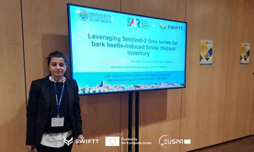
ACM/SIGAPP Symposium On Applied Computing
![]() 11 April 2024
11 April 2024
SWIFTT partner from the University of Bari presented the paper entitled “Leveraging Sentinel-2 time series for bark beetle-induced forest dieback inventory” at the event held from 8-12 April in Avila, Spain.
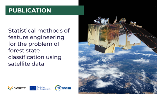
Publication: Statistical methods of feature engineering for the problem of forest state classification using satellite data
![]() 29 March 2024
29 March 2024
In this work, SWIFTT partners from the Space Research Institute of Ukraine and collaborators explore the use of the Bhattacharyya distance and Spearman’s rank correlation coefficient for feature selection from satellite images.

Workshop Copernicus for Forestry
![]() 13 March 2024
13 March 2024
Project Partner TimbTrack presented SWIFTT in EU/EUSPA workshop held on 12th April 2024, in Brussels, Belgium
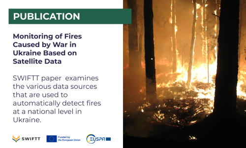
Publication: Monitoring of Fires Caused by War in Ukraine Based on Satellite Data
![]() 06 February 2024
06 February 2024
SWIFTT paper examines the various data sources that are used to automatically detect fires at a national level in Ukraine.

SWIFTT Newsletter #2
![]() 11 January 2024
11 January 2024
The second issue of the SWIFTT project newsletter is out! Get up to date with the project development and partner activities.
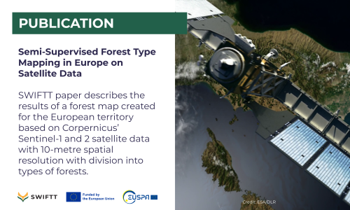
Publication: Semi-Supervised Forest Type Mapping in Europe on Satellite Data
![]() 21 December 2023
21 December 2023
SWIFTT paper describes the results of a forest map created for the European territory based on 2022 Corpernicus’ Sentinel-1 and 2 satellite data with 10-metre spatial resolution with division into types of forests.

