![]() 29 June 2025
29 June 2025
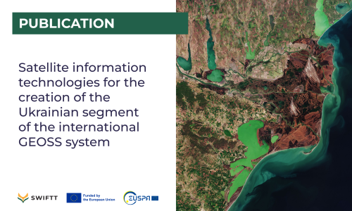
In this work, SWIFTT partners from the Space Research Institute of Ukraine describe the results of research and examples of creating information technologies based on satellite data in the fields of agricultural monitoring, assessment of the state of the Earth's cover and land degradation, monitoring of forests, assessment of fire danger, air quality, and monitoring of the water surface. These studies are joint efforts with European partners within the framework of international consortia aimed at addressing global challenges related to assessing the achievements of sustainable development goals. The critical role of innovative space information technologies in the reconstruction of post-war Ukraine is highlighted.
From this point of view, an analysis of GEOSS-driving innovation approaches was carried out. The current state and prospects of using satellite information in Ukraine are analyzed, in particular, the dynamics of requests by state institutions for satellite observation data. Basic approaches to the construction of the Ukrainian segment of GEOSS and its European subsystem, EuroGEO, are proposed. It is planned to develop and implement information technologies and services for assessing indicators of sustainable development in socially significant areas: food, energy, fire safety, monitoring of agricultural, forest, water energy resources, urban agglomerations, and environmental pollution. The main tasks, steps for creation, approaches to evaluating efficiency, and organizational activities are formulated.
Read the paper in the link below (in Ukrainian).

